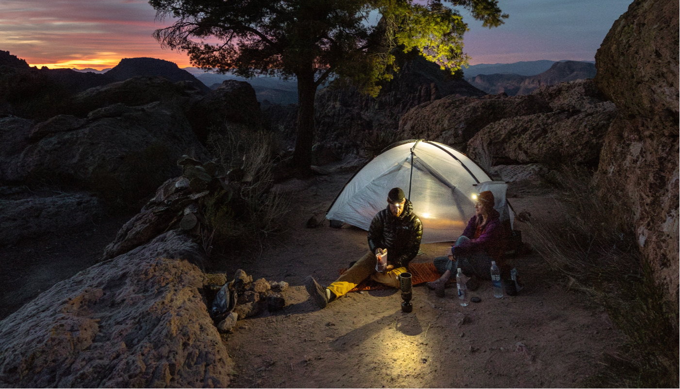


It’s not necessarily news that it has been dumping snow this winter. Much to the delight of skiers and snowboarders everywhere, mountains across the country are up to their armpits. You can gloat all you want about sidling up to the all-you-can-eat powder gorge, but if you also happen to be planning on thru hiking the PCT this year, you might to want to change your tune.
Thru Hiking the PCT in a Banner Snow Year
Of all the areas that are currently in the midst of a perpetual storm dig out, California got it the best/worst. The overall snowpack for the entire state is currently at 188% of normal for this date. Look at the numbers by region and it gets even more extreme: southern California (including the eastern Sierras) is at 213%, central California (including most of the Lake Tahoe area) is at 193%.

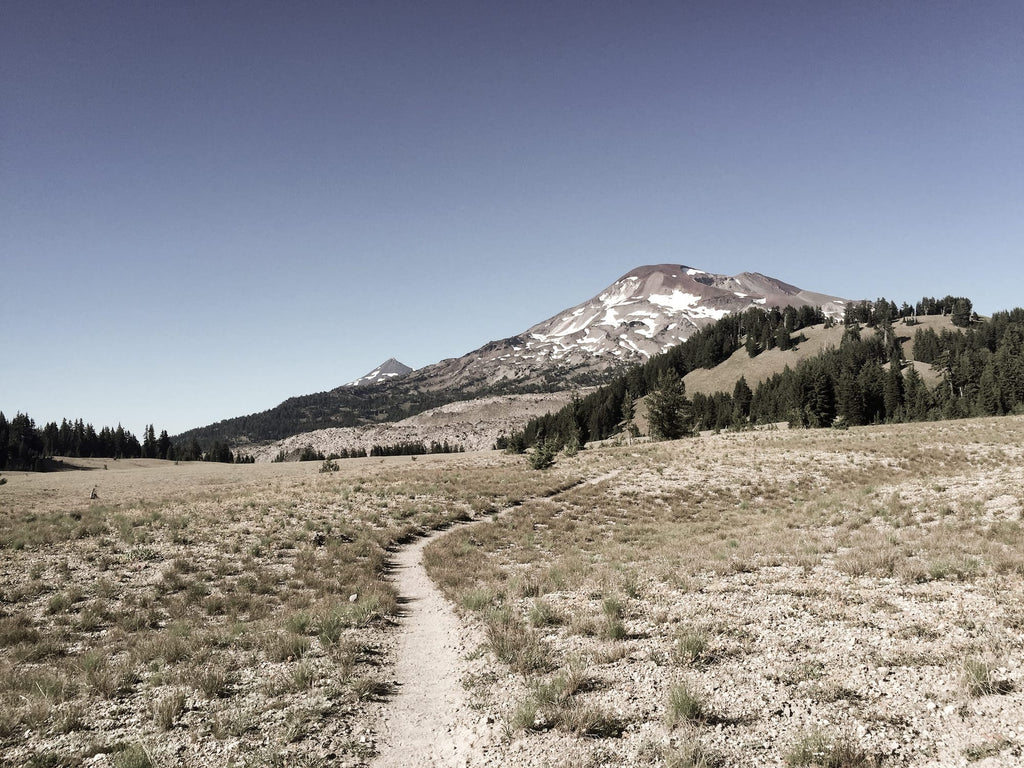
These days, most people—upwards of 90%, according to the Pacific Crest Trail Association—thru hiking the PCT do it from south to north. Typically, a late-April to early-May start will get you up into the first bands where snow is likely late enough that it will have melted off for the most part. Mt. San Jacinto, roughly 150 miles in, is where the average NoBo will catch their first glimpse of the white stuff.
Keep in mind, that’s after taking their first steps on the trail just shy of the Mexican border, in what qualifies as low-lying desert. That means most thru hikes start out in a zone with temps that can be in the mid-to-high 80s even in April. It can be a harsh and hasty transition from that to traversing snow at 10,000+ feet.
With this year’s exceptional snowpack, it’s likely that hikers will encounter snow further south on ridgelines throughout the Idyllwild area. There’s still the biggest potential for things to get real on Mt. San Jacinto, but a few stints of post-holing prior to that should be a good warm up.
It’s not just that the snowline is creeping south, either. According to Jack Haskel, the PCTA’s Trail Information Specialist (tip of the hat to this gentleman for nabbing one of the sweetest jobs, ever), it’s going to stick around, too.
“Snow will linger on much of the trail well into July this year. It’s quite possible that some snow will persist the entire summer,” says Jack. “But it’s also a bit early in the season to really forecast what the summer situation will be like. We’ll be able to guess more in mid-late March.”
Right now, the area most likely to have snow through summer stretches from the eastern edge of Sequoia National Forest to, well… east of Redding. To get a good sense for how extreme the snow pack is there, venture over to the PCTA’s map page. Tick the “Snow Depth” box on the Google map at the top of the page and prepare to pick your jaw up off the floor. Significant portions of the Pacific Crest Trail are currently under more than 500 cm of snow. In some places, it’s 750 cm +!
Flip-flopping up to the northern terminus isn’t looking so hot, either right now. The North Cascades are also buried under a banner winter, to the extent that even a late June or early July departure won’t be late enough.
But before you go getting all discouraged, snowy terrain isn’t a total deal breaker, and there are a couple of upsides. For one, there may be fewer people on the trail in 2017, thanks specifically to the snow. In recent years, water has also been a major problem. Hyperlite Mountain Gear staffer Amy K. reports that the southern California section of the trail was beyond parched in 2015. This year, the opposite may be true, to a hyperbolic extent. What promises to be a massive melt-off this year will yield plenty of cold, clean mountain water for thirsty hikers. Stream crossings are guaranteed to get interesting, though.

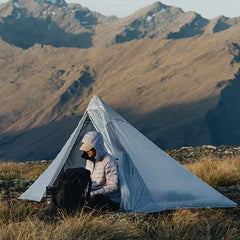
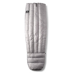
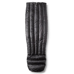
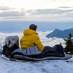
Snow will make thru hiking the PCT harder, but maybe not impossible. If you’ve had a hike in the works for a while, it’s not too late to build in some contingencies and give it your best shot. Our previous posts on ultralight winter backpacking relating to sleep system strategies and hiking canyon country in the off season with two Grand Canyon park rangers are a good place to start.
Jack from the PCTA has a few more recommendations, as well:
Whether snow travel is appropriate for people will depend on factors like their knowledge, experience, physical fitness, risk tolerance, equipment and the specific conditions that they’ll face. My recommendation is to delay entry into snowy areas until conditions improve. Also, they should be prepared with maps that show exit routes and have plenty of food so that they have options to turn around, delay or bail.
In the next six-to-eight weeks leading up to what we typically consider to be PCT thru hiking season, we’re going to do our best to keep you updated on the state of the trail. We’ll include periodic check-ins with Jack and the rest of the crew at the PCTA (one of the benefits of our partnership with the organization for 2016-17), along with useful tools like ultralight backpacking gear lists tailored to the evolving conditions.
In the meantime, the best thing you can do is stay on top of the info as it becomes available.
There’s a bevy of data available via links from this page:
http://www.pcta.org/discover-the-trail/backcountry-basics/snow/
And you can line up at the PCTA’s info trough directly here:
http://www.pcta.org/journalist/
Jack also recommends the following weather blogs for your browsing enjoyment:
http://cliffmass.blogspot.com/
http://weatherwest.com/
https://opensnow.com/dailysnow/tahoe
http://mammothweather.com/
Backcountry skiing forums like Telemark Talk and Teton Gravity can also lend that critical on-the-ground perspective that even the most dialed-in weather models don’t get.
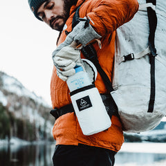
We designed the Hyperlite Mountain Gear Southwest Ultralight Pack to be the ultimate PCT thru hiking backpack. Its rugged construction, including a Dyneema® hardline external pocket system, it built to withstand the rigors of any thru hike. Long desert miles, high alpine peaks and yes, even a banner snow year, are no match for this pack.
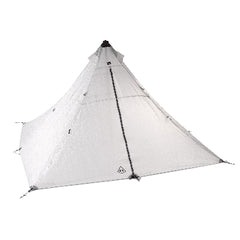
If the snow persists, a 3400 (55L) should get the job done and give you a little extra room for warmer layers and the odd piece of light mountaineering gear. And not to worry–we’ll let you know as soon as it’s looking like 2400 (40L) weather again, ASAP.
Looking for more info? We’ve updated this post as of the release of the April 1 Sierra snow pack data. Read
Snow Daze, Part II: Thru Hiking the Pacific Crest Trail in an Epic Snow Year.

