Pacific Crest Trail Thru Hike: Nine Tips For Success
June 23, 2016

The Triple Crown of hiking is an almost mythical endeavor. These three trails take thru hikers and backpackers to some of the most scenic, remote and illustrious landscapes of the United States. The Appalachian Trail is full of history, tradition and lore. The moss-covered New England rocks and gnarly roots are emblematic of the long and deep culture of this famous footpath. And the Pacific Crest Trail winds its way through desert, climbs its way to the High Sierra and John Muir’s fabled “Range of Light” and onward to the volcanic peaks of the Pacific Northwest. It is a land of biodiversity and enchantment. Anyone attempting all three will find something completely different hiking the CDT (Continental Divide National Scenic Trail).
How to Stay Hydrated, Oriented, Warm & Dry Hiking the CDT
This trail remains mostly wild and untamed, and is the longest at 3,100 miles. Grizzly bears, wolves, bison and wild horses still roam along this passage; high-mountain passes beckon and red rock mesas stretch out as far as a backpacker can see. The route is really more of a corridor than a trail. So even if you have significant long-distance trail experience, there are things you need to know before you get on the CDT. Thanks to the Continental Divide Trail Coalition for providing us with the five things you should know before you hike the CDT:
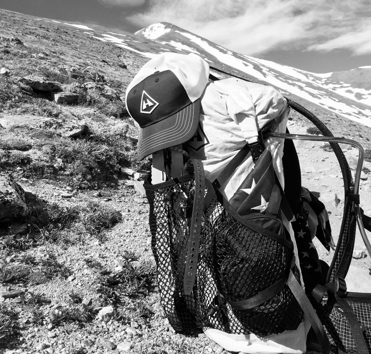
Water, water, water. Plan where you can get water and be prepared to carry a lot of it if none is available. Plus, we recommend you imbibe a gallon per day. With high altitudes, varied temperatures and a lack of humidity, in addition to hikers losing between eight and 16 liters of water per day during strenuous exercise, you need to be well hydrated. However, water can be scarce in Wyoming’s Great Divide Basin and throughout New Mexico. Streams may be dry or overflowing depending upon the year’s snowpack and the month of the year. You can find water at windmills and stock ponds, but those aren’t entirely reliable and may be on private land. Windmills on federal lands are called Section 4 projects, and the rancher who has a federal permit to graze livestock on those lands often has the water right.

Maps & GPS: According to thru hiker and Trail Information Specialist for the Pacific Crest Trail Association, Jack Haskel, “Many people hiking the CDT don’t know squat about navigation. But that doesn’t fly so well out on the divide. It’s not well signed. It doesn’t have a lot of footprints. It’s definitely not always the most major path. It’s often on roads with networks of road intersections. And there often isn’t a single way to hike the trail.” he recommends you take an orienteering class if you don’t know much about navigation. Bring a compass and know how to use it. Use a GPS (and make sure it’s not broken, and that it has batteries, maps and a track). And find the maps you need at Bear Creek Survey Maps. Developed by the former CDT organization and Jerry Brown of Bear Creek Survey, these map guides reflect the most current line data for the CDT available. These guides will give you the most accurate waypoint data for the “official” route, including water sources, critical intersections and general know where you are or need to be information. We highly recommend you combine these with Yogi’s, CDT Handbook.
Resupply: Few resupply points exist along this remote and isolated trail. You may have to hike 50 miles to reach a town. So, know before you go how much you need to carry and where you need to stop to refuel.
Weather: Be prepared for the full gamut of weather, from snow, hail, lightning, rain to hot, high-altitude sunshine. Temps range from below freezing to 100+ degrees So, learn what weather signs to look for. Know the different types of cloud formations and other natural phenomena and how At 14,440 feet, Mount Elbert is the tallest mountain in Colorado, and the second tallest in the contiguous United States.they can help you forecast weather. And make sure to have sufficient layers and the right rain gear and warm clothes. Consider traveling in the morning when it is cooler and to avoid afternoon storms. As well, in open areas of the CDT (either high or dry), wind is either blowing or it’s about to, so plan for it. Select campsites that are below the ridgeline, behind boulders, or snuggled into whatever vegetation exists. Use all of your shelter’s tie-down lines. Avoid building rock shelters, or if your stove requires one, replace the rocks in order to preserve the rustic CDT.
Altitude: At an average elevation of 11,500’, the CDT is the highest of the Triple Crown trails, so be prepared to hike some steep terrain and watch out for Altitude Sickness or Acute Mountain Sickness (AMS). At elevations of 5,000+ feet the air becomes less dense and each breath contains less oxygen. So you must know the signs and symptoms and act accordingly.
YOUR CART IS EMPTY
Let’s find you the right gear for
your next adventure.